At the sources of the Scarpe
 | |
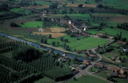
To locate the sources of the Scarpe, we need to travel to Berles-Monchel, near Aubigny-en-Artois. The river then flows for 102 kilometres before entering the Escaut at Mortagne-du-Nord, just before the Belgian border. But why do we refer to the upstream Scarpe and the downstream Scarpe? | |
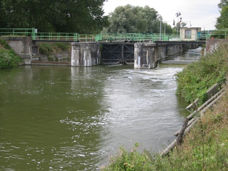
Les "sources" de la Scarpe aval : l'écluse de Fort de Scarpe à Douai | Before the 10th century, the Scarpe did not exist. It was at the initiative of the Count of Flanders, in order to promote the development of Douai, that the course of the Satis was rerouted into the Scarbus to form what is today known as the Scarpe. |
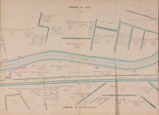
| Subsequently, with the development of shipping, the main rivers in the Nord were channelled and diversions were created to connect them. It was in this way that the Deûle was artificially connected to the Scarpe at Douai, once again splitting it in two: most of the water coming upstream from the Scarpe today flows towards Lille. Since 1830, the Scarpe has been definitively canalised along most of its route and has generally looked as it does today. The modest dimensions of the downstream Scarpe, on what is referred to as the Freycinet scale, led to the gradual abandonment of commercial shipping. | La Scarpe à Vred-Pecquencourt au XIXè (Archives Départementales du Nord, plan autographe référence 141 J 144).
|
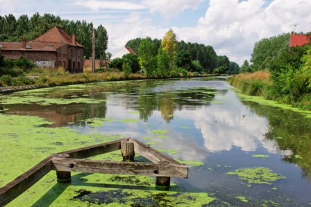
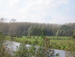
La Scarpe à Warlaing | Nowadays it plays an important role in water management at departmental level. In places, its banks have recently been rehabilitated by the local authorities, bringing walkers back to explore its route. Likewise, the final kilometres of its length, between Saint-Amand-les-Eaux and Mortagne-du-Nord, have been given over to pleasure boats, in anticipation of a complete reopening to shipping and an ecological reconnection with its tributaries, which will favour fish life. |
 |  |